Zoox Approved Areas of Operation for Driverless Testing and Deployment

Vehicle Platform: Zoox robotaxi

Hours of Operation: All times of day and night

ODD Characteristics: Roadways with a posted speed limit up to 45 mph.

All environmental conditions except adverse weather and roadway conditions (i.e., snow/sleet/hail, heavy rain, heavy fog/haze/smoke, wind speeds faster than 35 mph, paved roadways with flooded or icy surface conditions or obscured by snow, sand, gravel, large quantities of leaves, or other debris).

Approved ODD Maps:

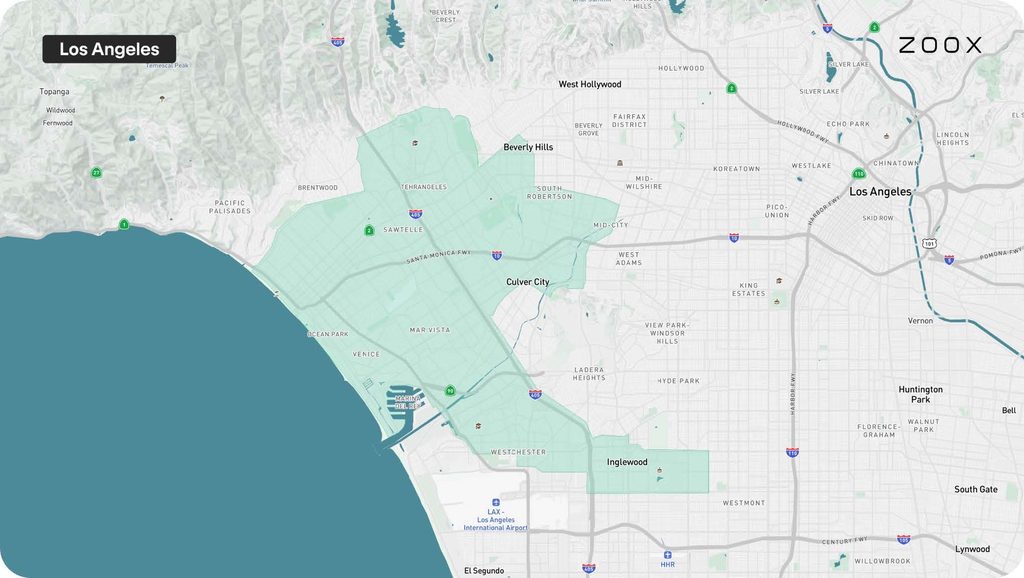
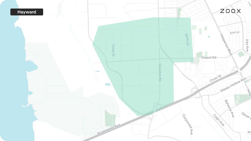
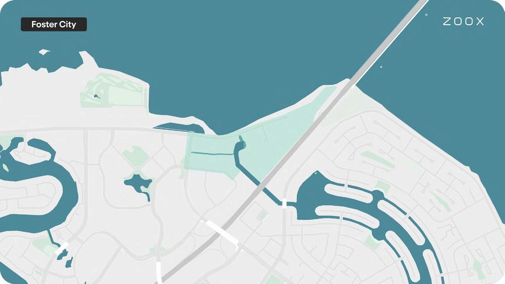
Yellow areas indicate driverless testing, and green areas indicate deployment operations.
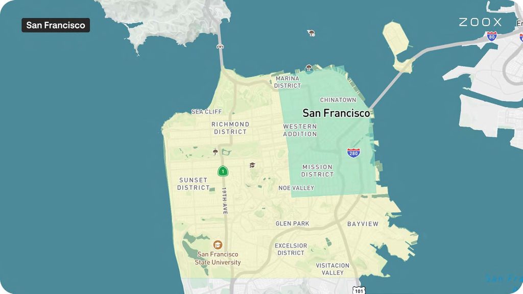
Map of San Francisco showing Zoox robotaxi operating areas. Yellow indicates approved driverless testing areas across the western, central, and southeastern San Francisco, while green indicates approved deployment areas in northeastern San Francisco.
Map of Los Angeles showing Zoox robotaxi approved operating areas. Green shaded areas indicate approved deployment operations across portions of West Los Angeles, including Santa Monica, Maria Del Rey, Venice, Culver City, Mar Vista, Westchester, Inglewood, and areas near Beverly Hills. No yellow driverless testing areas are shown on this map.
Map of Hayward showing a Zoox robotaxi approved operating area. A green shaded area indicates approved deployment operations within Depot Road, Clawiter Road, Foley Street, and Breakwater Avenue west of Hesperian Boulevard. No yellow driverless testing areas are shown on this map.
Map of Foster City showing a Zoox robotaxi approved operating area. A green shaded area indicates approved deployment operations along northern Foster City near the San Mateo-Hayward Bridge. No yellow driverless testing areas are shown on this map.

Was this page helpful?